61 km | 72 km-effort
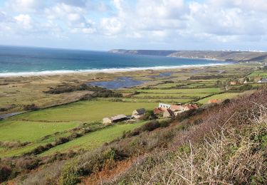
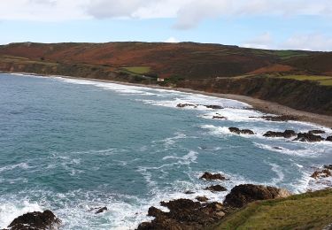
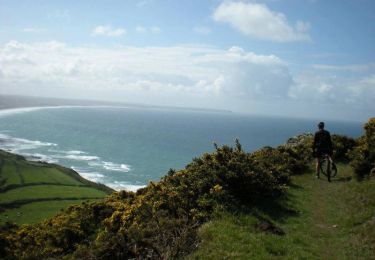
50 mares de Vauville 6km
SyMA
Benutzer
Länge
6,1 km
Maximale Höhe
56 m
Positive Höhendifferenz
64 m
Km-Effort
7 km
Min. Höhe
3 m
Negative Höhendifferenz
64 m
Boucle
Ja
Erstellungsdatum :
2020-07-13 13:27:19.705
Letzte Änderung :
2020-07-15 19:32:08.37
1h54
Schwierigkeit : Sehr leicht
Kostenlosegpshiking-Anwendung
Über SityTrail
Tour Wandern von 6,1 km verfügbar auf Normandie, Manche, La Hague. Diese Tour wird von SyMA vorgeschlagen.
Ort
Land:
France
Region :
Normandie
Abteilung/Provinz :
Manche
Kommune :
La Hague
Standort:
Vauville
Gehen Sie:(Dec)
Gehen Sie:(UTM)
583044 ; 5498646 (30U) N.
Kommentare
Touren in der Umgebung
La Haguarde Bitumeuse 2011 - Gréville Hague
Fahrrad
Medium
(1)
La Hague,
Normandie,
Manche,
France
2h 0min
Ja
Séjour Cotentin Etape 4 Biville - Les Pieux
Wandern
Schwierig
La Hague,
Normandie,
Manche,
France
29 km | 35 km-effort
6h 55min
Nein
ioupi biville 01
Wandern
Einfach
(1)
La Hague,
Normandie,
Manche,
France
9,5 km | 11,3 km-effort
2h 11min
Ja
Vauville - Côte Soufflée A/R
Wandern
Sehr schwierig
La Hague,
Normandie,
Manche,
France
22 km | 33 km-effort
4h 32min
Ja
Vauville, dunes de Biville Héauville
Wandern
Einfach
La Hague,
Normandie,
Manche,
France
21 km | 25 km-effort
4h 13min
Ja
Herquemoulin-Cap de la Hague
Wandern
Schwierig
La Hague,
Normandie,
Manche,
France
16,9 km | 26 km-effort
4h 9min
Ja
La Banane à Vauville
Mountainbike
Schwierig
La Hague,
Normandie,
Manche,
France
42 km | 56 km-effort
3h 30min
Ja
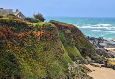
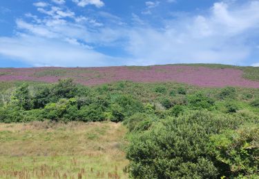
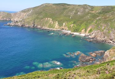
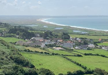
une petite balade bien sympathique entre dune et mares. Attention par temps humide le petit chemin qui descend du Thot se transforme en ruisseau, prévoir des bottes.